DOI: 10.14714/CP94.1593
© by the author(s). This work is licensed under the Creative Commons Attribution-NonCommercial-NoDerivatives 4.0 International License. To view a copy of this license, visit http://creativecommons.org/licenses/by-nc-nd/4.0.
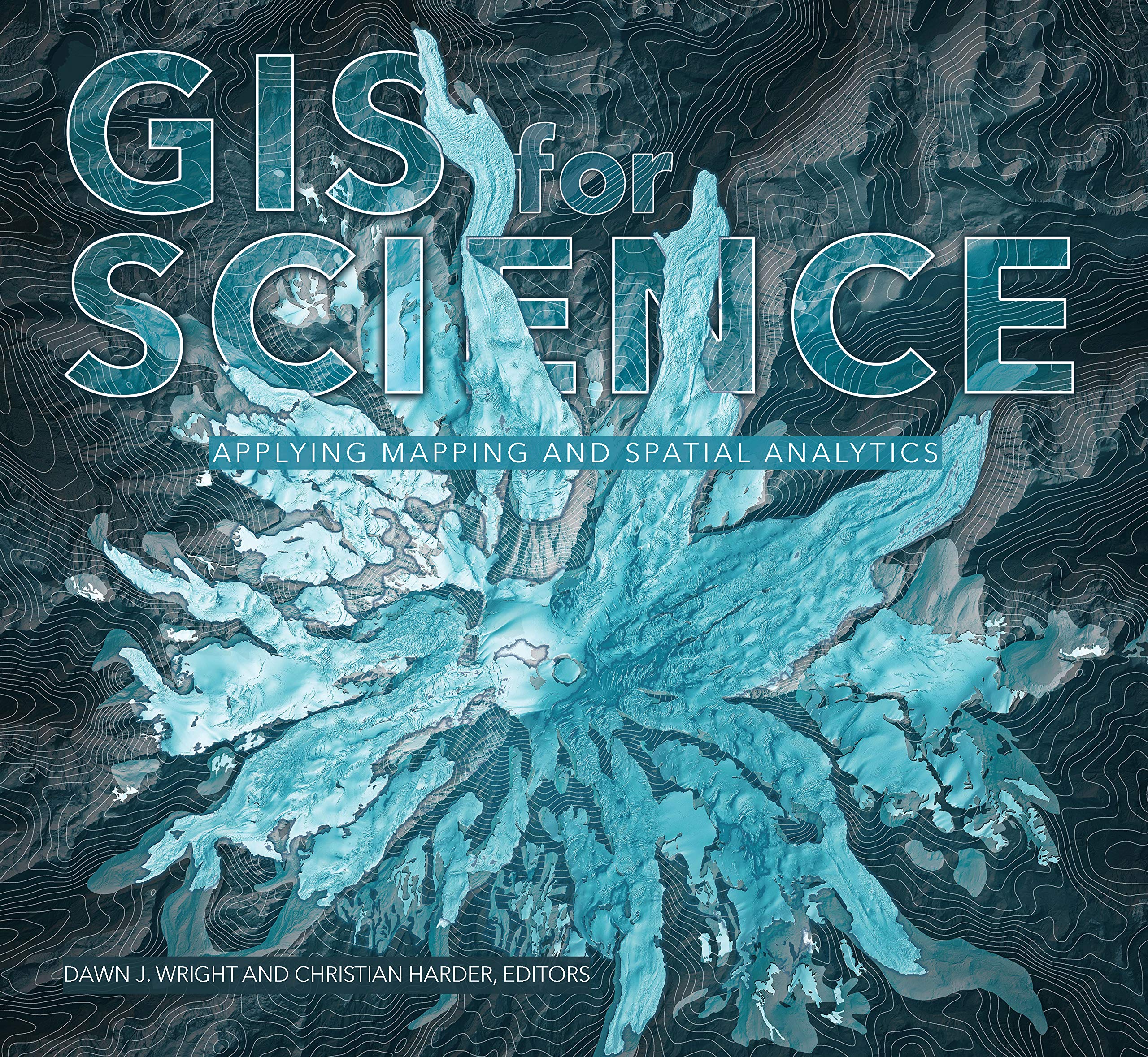
Review of GIS for Science: Applying Mapping and Spatial Analytics
Edited by Dawn J. Wright and Christian Harder
Esri Press, 2019
237 pages, with maps, satellite imagery, and photography
Softcover: $39.99, ISBN 978-1-58948-530-3
Review by: Daniel G. Cole, Smithsonian Institution
The objective of GIS for Science: Applying Mapping and Spatial Analytics, according to editors Dawn J. Wright and Christian Harder, was to assemble some “relevant and interesting stories about the state of the planet in 2019,” (ix) about the integration of GIS into science, and about a few of the scientists using these tools to help solve a number of real-world problems. The result is a beautiful, multi-authored book with many maps, images, spatial data, and background stories that is presented to both a general audience and to scientists who may be starting to incorporate GIS in their scientific research. This review will focus primarily on how the book draws attention to a number of interesting and worthwhile projects, and, by lifting them out of the fray, provides hope for the future of GIS in scientific research. It will also identify some minor issues with the book’s editing, layout, and writing. GIS for Science, like many multi-authored books, is a bit uneven in quality from chapter to chapter.
The contents are organized in six thematic groups—an Introduction and five Parts—and all, save the last, contain chapters that are generally between ten and twenty pages. Chapters in the first four thematic parts are case studies, while the fifth part, called “Technology Showcase,” has eleven two-page articles. Each of the Parts also has its own two-page introduction and each chapter has a section called “Endnotes” (that is utilized in various ways by different authors). There is a companion website as well, containing online resources that complement the case studies and articles (gisforscience.com).
The three sections of the Introduction offer context for the use of GIS in science, suggestions for using the book, and describe the importance of science to the planet, and these are penned, respectively, by Jack Dangermond (president of Esri) and Dawn Wright (Esri's chief scientist), the book’s editors Dawn Wright and Christian Harder (an Esri technology writer and information designer), and Kathryn Sullivan (geologist and former NASA astronaut).
Part 1, entitled “How Earth Works,” contains four chapters. The first is “Global Ecosystem Mapping” by Roger Sayre (United States Geological Survey) and it describes the development of a standardized, high-resolution map of the world’s ecosystems by a team of public- and private-sector scientists. He begins by emphasizing the importance of understanding both the spatial and ecological perspectives on global ecosystems, and stresses the value of the National Geography Standards—eighteen points of basic geographic skills, knowledge, and ways of thinking, first published in 1994 and intended to guide geographic education in the United States—in conjunction with the United Nations’ Sustainable Development Goals for terrestrial, coastal / marine, and freshwater ecosystems. He outlines the work behind the already completed project map sets: Ecological Land Units and Ecological Marine Units. The Land Unit maps identify almost four thousand unique combinations of bioclimate, landforms, lithology, and land cover in two dimensions at a resolution of 250 meters, while the Marine Unit maps resolve around 52 million data points archived over 57 years into 37 distinct, three-dimensional volumetric regions at a horizontal resolution of 27 kilometers. Sayre notes that work on the Ecological Coastal Units is currently underway, and they will be followed by the Ecological Freshwater Units.
This chapter is illustrated with two world maps that each spread across two pages. The first is a map of Ecological Land Units (4–5), that uses the Goode homolosine equal-area projection. Unfortunately, the map overflows its page space so that New Zealand, Oceania, and eastern Australia are absent. The other two-page map, on pages 18 and 19, illustrates the global Ecological Marine Units using the plate carrée projection. This time, a small portion of northeastern New Zealand and a slice of the central Pacific Ocean are missing. A scale bar—in any event, usually considered inappropriate on this projection—is also cropped. Sayre provides seventeen endnotes tied to the text, and extensive online resources that include peer-reviewed articles, technical reports and web map apps.
Chapter 2, “What Lies Beneath,” by Daniel Coe of the Washington (State) Geological Survey, presents seven case studies on the Columbia Gorge landslide inventory, focusing on the use of lidar data for mapping “geology, landslides, and faults; to study volcanoes, glaciers, and rivers; and model tsunami inundation” (25). He uses the chapter’s endnotes section to list references, and the online site has links to a story map, a poster, a data portal, and web map apps, plus websites from the Washington Department of Natural Resources and the Washington Geological Survey.
Melanie Brandmeier (Esri Deutschland [Germany]) deals with different types of volcanic eruption as well as the various sizes of eruptions experienced by ten large volcanoes around the world in Chapter 3, “The Anatomy of Super Volcanoes.” The scope of her interest is world-wide, but she spends most of the chapter discussing the Andes—a mountain chain with over 185 active volcanoes—ultimately focusing on the Cerro Galán caldera of northwestern Argentina and others on the altiplano of Peru. Brandmeier goes on to discuss the Andes Ignimbrite Database she compiled as part of her Ph.D. thesis, and the workflow in ArcGIS and R-Studio she employed in the space-time mapping and analysis of volcanic flare-ups that have occurred over the past 26 million years.
There is some confusion in this chapter about the date of the nineteenth-century eruption of Mt. Tambora in Indonesia—apparently the largest in recorded human history—with the text putting it in 1885, although a figure caption gives the more generally accepted year of 1815 (44). It would also have been helpful if the map on page 46 (on an unnamed projection that might possibly be Natural Earth) showed the locations of the caldera and ignimbrite study area under discussion. This chapter list its photo credits and literature references in its endnotes, and there are peer-reviewed articles, a story map, a database, a slide deck, and a poster online.
The fourth chapter, “Predicting Global Seagrass Habitats” by Orhun Aydin and Kevin A. Butler—both members of Esri’s Spatial Statistics Team—starts with an outline of the ecological value of seagrass and a report on the overall status of seagrass ecosystems. The authors then describe the GIS models they used to help understand where it is that seagrass will grow, paying particular attention to their employment of machine learning tools. Tables depict temperature and salinity graphs with layouts of the data plotted against model outputs using random sample consensus, support vector machine, multi-layer perceptron, and random forest modeling methods for six different regions of the world. They finish with world maps of seagrass density and an emerging hotspots analysis using hexagonal binning, along with a perspective view of an area in Australia that illustrates a space-time hotspot analysis for prediction of future seagrass habitat. Unfortunately, the world maps are both in the Mercator projection and each includes an inappropriate scale bar. The authors have their endnotes tied to the text along with three photo credits. Online resources consist of a story map and a slide deck, plus a couple of blogs and Esri reports.
Olga Wilhelmi and Jennifer Boehnert, both with the National Center for Atmospheric Research, or NCAR, contributed “Extreme Heat Events in a Changing Climate”—the book’s fifth chapter, and the first of four in Part Two. They begin by discussing the relationship between extreme heat and human health, and move on to how heat is measured, and to issues related to warning the populace about heat stress. A map of Houston showing the urban heat island effect—overlaid with yellow circles locating cooling centers and eight different icons to indicate other places to get cool—illustrates the section on responding to extreme heat. This is followed by a discussion of extreme heat in a changing global climate, illustrated by world maps of temperature and heat index anomalies comparing the 1986–2005 period with forecasts for 2046–2065 and 2081–2100. The chapter finishes with another map depicting nighttime summer average temperatures in the Houston area, along with graphs visualizing the temporal changes in extreme heat events, and the GIS workflow used to prepare the data. In this chapter, the endnotes are really references, while websites, blogs, lesson plans, and the NCAR data portal can be found online.
“Finding a Way Home” by Lauren Griffin and Este Geraghty (both with Esri) deals with applications of GIS for the study of homelessness in the United States, and begins with a graph of the number of homeless in each state per 100,000 residents and a graduated circle map of the total numbers of homeless per state. For the rest of the chapter, though, the focus is on Los Angeles County, with a dozen county-wide maps and a few closeups around the city of Los Angeles. GIS workflows were established to analyze, predict, and map factors triggering or contributing to homelessness risk, as well as cataloging mitigating factors and evaluating mitigation progress. The maps in this chapter are, for the most part, very nicely designed, but for some reason the map on the right-hand side of page 99 is duplicated on page 101. At the end of the chapter, the authors have forty-five endnotes and the online resource page has five story maps, two case studies, and three blogs.
The seventh chapter, “Restoring Coastal Marine Habitats” by Zach Ferdaña, Laura Flessner, Matt Silveira, and Morgan Chow (all of The Nature Conservancy), Tom Brouwer (from FloodTags), and Omar Abou-Samra (with the American Red Cross),
addresses the use of nature-based solutions to achieve coastal resilience, and includes two case studies. The first deals with the island of Grenada and the issues of storms and rising seas. Interestingly, in a book about GIS, the authors include a photo of the 3D cardboard model of the Grenville Bay area they constructed for interacting with the local populace, but do not show the digital 3D model that they created for the same area. The second case study concerns mangrove restoration in the Semarang area of Indonesia. The ArcGIS Pro models incorporating the locations of existing mangroves and flood zones that were used to identify areas with potential for restoration efforts are discussed, and two of the output maps are included. Once again, references populate the endnotes section, and online there are links to several websites, web apps, lesson plans, and a story map.
“Modeling Bird Responses to Climate Change” is the title of chapter eight, and it comes from Molly Bennet of the National Audubon Society, with contributions from her colleagues Brooke Bateman, David Curson, Gary Langham, Curtis Smalling, Lotem Taylor, Chad Wilsey, and Joanna Wu. It begins by noting the Audubon Society’s history of work to protect birds, before looking at some examples of current work. There are maps of how the summer and winter ranges of some birds may shift northwards due to climate change, and a migration map for five classes of western hemisphere birds. There is also an inventory and comparative evaluation of Important Bird Areas, Priority Forest Blocks, and Climate Strongholds—all important to bird conservation—in North Carolina. Other case studies have maps depicting Important Bird Areas in Mexico and in western Colombia, and some of the wetlands in Maryland that are important for sea birds, identifying more than two hundred sites that will become suitable for refuges as the sea level rises. They finish with a discussion of Climate Watch (climatewatchdata.org). Of especial note in this chapter is the elegantly simple, generalized western hemisphere map on page 128 of migration routes and important bird areas throughout the two continents. With this chapter, the endnotes should be labeled as “Photo Credits,” and the online resources has links to three story maps, three web maps, and the Audubon Mapping Clearinghouse portal.
Part 3, “How We Look at Earth,” is divided into two chapters. Chapter 9, “Mapping Ancient Landscapes,” by Jason Ur and Jeffrey Blossom (both of Harvard University) discusses efforts to map the ancient Assyrian empire, and focuses specifically on the work of the Erbil Plain Archaeological Survey (scholar.harvard.edu/jasonur/pages/erbil) in what is currently the Autonomous Kurdistan region of Iraq. A good deal of discussion is included on the Survey team’s use of drone imagery and digital surface models in conjunction with magnetometry surveys, historical satellite imagery, and fieldwork. This GIS work helped local and Western archaeologists discover the lost kingdom at Kurd Qaburstan (2000–1500 BCE), examine major Assyrian canal excavations, and disentangle evidence of ancient forced migrations from that of others as recent as the 1980s. There are twenty-eight endnotes at the end of the chapter, while one story map, two web mapping apps, a video, and the Harvard Center for Geographic Analysis website are all available online.
The tenth chapter tells of a partnership between the Chesapeake Conservancy and Microsoft to assess the condition of riparian areas in four Pennsylvania counties—using high resolution imagery and lidar—and to suggest where riparian buffer restoration projects should occur. Unfortunately, there are no endnotes or references for this chapter, but the online resources provide five videos, three web maps, a PDF atlas, and a data portal from the Conservancy, plus three additional articles.
There are two chapters in the fourth part, “Training Future Generations of Scientists,” and in the first, “A Glacier in Retreat,” Jacki Klancher, Todd Guenther and Darren Wells (all from Central Wyoming College) address the changes in depth and extent of the Dinwoody Glacier at Gannett Peak in west-central Wyoming. The authors have been engaged in an ongoing study of the glacier for over six years—leveraging the participation of students as part of an interdisciplinary climate change expedition—documenting the glacier’s thickness using ground penetrating radar and its extent using a GoPro camera hanging from a kite. The authors have also conducted anthropological studies of the Wind River Range using GIS to predict buffalo jump locations that prehistoric indigenous Americans could have used. References, and map and photo credits, populate the endnotes section of this chapter, and the online resources contain three videos, three story maps, a blog, and a connection to the Living Atlas of the World.
The University of Redlands team of Dan Klooster, David Smith, and Nathan Strout contributed “Panamapping: GIS for Conservation Science,” the twelfth chapter of GIS for Science. In it, they discuss the use of GIS for conservation in the Mamoní Valley Preserve of central Panama—more specifically in two micro-watersheds of tributaries to the Rio Mamoní—in a project undertaken in cooperation with Experience Mamoní / Fundación Geoversity, a non-profit ecological / educational organization in Panama (experiencemamoni.com, geoversity.org/en). They worked with the indigenous Guna people of the area to conduct GPS mapping of trails, streams, and the micro-watershed boundaries, and they also conducted high-resolution 3D mapping surveys from UAVs, all while struggling with challenges involving the vegetation canopy and weather. Both this and the previous chapter are good examples of practical field work for students learning about conservation biology using GIS. While acknowledgements are given at the end of the chapter, there are, unfortunately, no endnotes, citations, or credits. There are, however, three videos, a story map, a blog, a 3D fly-through, two websites, a slideshow, and an article online.
Part 5 is the Technology Showcase, and consists of eleven two-page exhibits, all authored by Esri staff:
- Emergence of the Spatial Cloud
- Equal Earth Projection
- Science of the Hex
- Modeling the Footprint of Human Settlement
- Modeling Green Infrastructure
- Jupyter Notebook Analysis
- 3D Empirical Bayesian Kriging
- National Water Model
- A High-Resolution Martian Database
- Sentinel-2 Imagery Viewer
- The Power of Storytelling for Science
The online resources for the Showcase include seven blogs, two slide decks, four story maps, three articles, two lessons, the NOAA data portal, eight websites/apps/maps, three videos, two links to the Living Atlas, and a book. Oddly, neither the articles nor any of the online links refer to the image from the Arctic DEM Explorer (livingatlas2.arcgis.com/arcticdemexplorer) shown at the start of this section, which is identified only by the figure caption.
Overall, GIS for Science: Applying Mapping and Spatial Analytics holds lots of promise, and the online links provide plenty of additional information and data for readers to consume. As was noted, the book is a bit uneven, and has some shortcomings—these include the misuse of the subtitle Endnotes, the occasional misuse of map scale bars, and one duplicated map. Certainly, too, all the authors should have been instructed to provide references. Nonetheless, these problems will not prevent readers from enjoying, and profiting by, this text.