DOI: 10.14714/CP101.1807
© by the author(s). This work is licensed under the Creative Commons Attribution-NonCommercial-NoDerivatives 4.0 International License. To view a copy of this license, visit http://creativecommons.org/licenses/by-nc-nd/4.0.
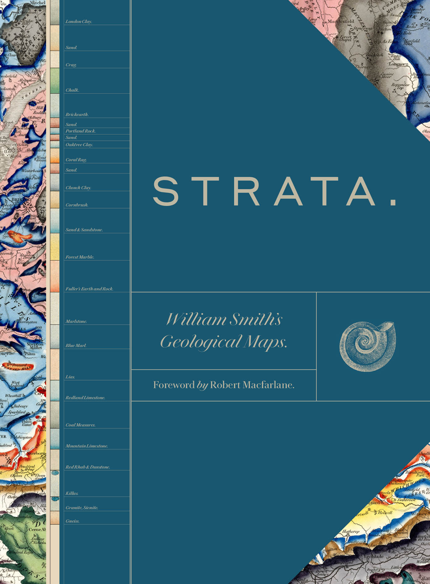
Review of Strata: William Smith’s Geological Maps
Edited by the Oxford University Museum of Natural History
University of Chicago Press, 2020
256 pages, 500 color plates
Hardcover: $65.00, ISBN 978-0-226-75488-8
Review by: Christopher A. Badurek, State University of New York at Cortland
How can cartography spawn an entirely new scientific discipline? Reading through this beautifully illustrated volume provides abundant answers. A detailed history of the life and work of William Smith (1769–1839), Strata explores the pivotal role cartography played in establishing his reputation as the “Father of English Geology.” Eight expert authors have contributed to telling Smith’s story, and their essays are accompanied by a well-designed balance of cartography, scientific illustration, and artwork. The objective of this volume is to illustrate the science and artistry underlying Smith’s concept of geological strata as he came to understand it around the time of the 1790s.
This book traces the origins of geology in the context of the transition from the era of what we now call the “gentleman scientist” to the scientific community model of today. It also presents Smith’s cartography as a contribution to scientific advancement in general, particularly in moving forward from the Biblical creation story to a field-based geoscience. Maps of strata were Smith’s primary contribution to the development of geology, employed to illustrate his concept that continuous strata, such as clays and shale, could be connected and defined by field collection of fossils. The book highlights the evolution of Smith’s mapping efforts beginning with his first (late 1700s) map—a copy of which is housed today in the library of the Geological Society of London—of the Somerset Coal Canal located just south of Bath. Perhaps his most widely regarded work was his 1815 map Delineation of the Strata of England and Wales, with part of Scotland, drawn at five miles to the inch and published in fifteen sheets covering an area eight foot by six. It was also hand colored in over twenty tints, making for a cartographic product impressive to a wide array of scientists and map enthusiasts. Strata divides Smith’s life and work into four phases, grouped in order by the area of England where he was then working, the geology he encountered there, and the fossils he took as indicative of the stratification he saw manifested. These phases are each addressed in a separate section: “Borders and the North” (London Clay to Greensand), “Wales and Central England” (Brickearth to Clunch Clay and Shale), “East Anglia and the South East” (Kelloways Stone to Fuller’s Earth Rock), and “The West” (Blue Marl to Redland Limestone). Each section contains one or two essays addressing some of the roles Smith undertook along the way: apprentice, mineral prospector, field worker, cartographer, fossil collector, well sinker, and mentor. In addition, there is a “Foreword” and an “Introduction,” plus a “Table Detailing William Smith’s Fossils Featured as Photographic Plates in This Book,” a “Bibliography and Sources of Illustrations,” and an “Index.”
The first section, “Borders and the North,” focuses on his activities mapping tunnels and canals for moving coal in the English countryside, highlighted by his map of the Somersetshire coal canals. It was during this period of work that he first observed that various rock layers were always be to found in the same relative orders, with similar dips, and that each particular stratum could be identified by the fossils it contained—a discovery that led, around 1801, to his earliest maps of this phenomena. “Wales and Central England” highlights Smith’s efforts to extol the virtues of his maps for industrial applications, including for agriculture and mining. This chapter provides fulsome context of the coal technology of the era and its relation to the genesis and development of strata mapping. Smith later promoted himself as a “mineral surveyor” in order to provide mapping services and information to wealthy investors. This section provides an excellent overview of the minerals exploited during the Industrial Revolution—particularly coal, in its industrial application in the manufacture of dyestuff—and is a precursor to what is today termed economic geology.
The “East Anglia and the South East” section comes third, and focuses on the next stage of Smith’s career: that of agricultural consultant. His promotion of the use of water meadows—areas of grassland subject to controlled irrigation that kept them evenly damp without flooding—to increase agricultural productivity was typical of his focus on the systematic application of scientific principles for practical ends. That he is humbly referred to as “the drainer” in Garrard’s 1811 painting of the 1801 Woburn Sheep Shearing, an illustration of the leading gentlemen and scientists of the time, shows that this practicality was not always admired.
The fourth section focuses on his cartographic contributions. Early on, Smith worked with John Cary, a leading cartographer of the era, and later became known for his own cartographic innovations; including his employment of ornate, almost-pastel color schemes in many of his maps of regional strata. For many years, the established societies of gentleman scientists—focused on pure academic work—failed to appreciate the groundbreaking discoveries, presentational innovations, or the necessary self-promotion of the man they often disparaged as “Strata Smith.” Nonetheless, in the long run, Smith’s works helped to advance the concept of practical applications of geology that persists to this day.
In addition to reviewing Smith’s methodological contributions, this book provides a history of his life through the maps he made. From humble beginnings and years of limited success, it was only late in life that he took his place among the other famous scientists of the era, including Charles Lyell, author of Principles of Geology: Being an Attempt to Explain the Former Changes of the Earth’s Surface, by Reference to Causes Now in Operation (1830–1833), and Richard Owen, founder of the Natural History Museum in London. He was never considered a gentleman scientist—due to his stout size, applied expertise as surveyor and artisan, humble education, lack of social status, and his exclusive focus on practical geology—and this was a formidable handicap in that age of genteel, amateur scientific societies. It was only in 1831—at the age of sixty-two, and only eight years before his death—that Smith was awarded the first Wollaston Medal from the Geological Society in 1831; an occasion upon which he was first referred to as the “Father of English Geology” by Adam Sedgwick, President of the Geological Society of London. His story is one of a man’s labor of love, despite the fact that his efforts to prosper financially from his labors were so completely unsuccessful that he was forced to spend time in debtor’s prison before eventually reaching a modest retirement.
This volume provides a stunning visual history of earth science and of the contributions of cartography to the overall development of the scientific enterprise through its rich description of the cartographic methods and settings of Smith’s field work. It should be noted that Smith’s 1815 map is today considered so significant to the field of geology that a field trip to the Academy of Natural Sciences in Philadelphia (ANSP) Library & Archives was hosted by the Geological Society of America’s 2015 Conference in Baltimore just to view it. In fact, having personally examined Smith’s map at the ANSP, I firmly believe the description of the fossil collections and drawings found in this volume can add significantly to one’s understanding of Smith’s work. Strata: William Smith’s Geological Maps, however, is not a text for amateurs or neophytes. A solid grounding in earth science knowledge is required to understand many of its contributions, and, without that grounding, the sheer volume of material contained in it could easily be so overwhelming; much of the rich linkage between the maps, annotation, and scientific illustrations of fossils could be missed. It is, perhaps, a book best suited to readers with interests in the history of geology, cartography, and of the sciences in general. On the other hand, this book does provide a rich illustrative complement to Simon Winchester’s (2001) The Map that Changed the World: William Smith and the Birth of Modern Geology. All that said, I strongly recommend this text, and suggest that it is a required acquisition for collections on natural history, and reading for natural history museum enthusiasts.