DOI: 10.14714/CP106.1995
© by the author(s). This work is licensed under the Creative Commons Attribution-NonCommercial-NoDerivatives 4.0 International License. To view a copy of this license, visit http://creativecommons.org/licenses/by-nc-nd/4.0.
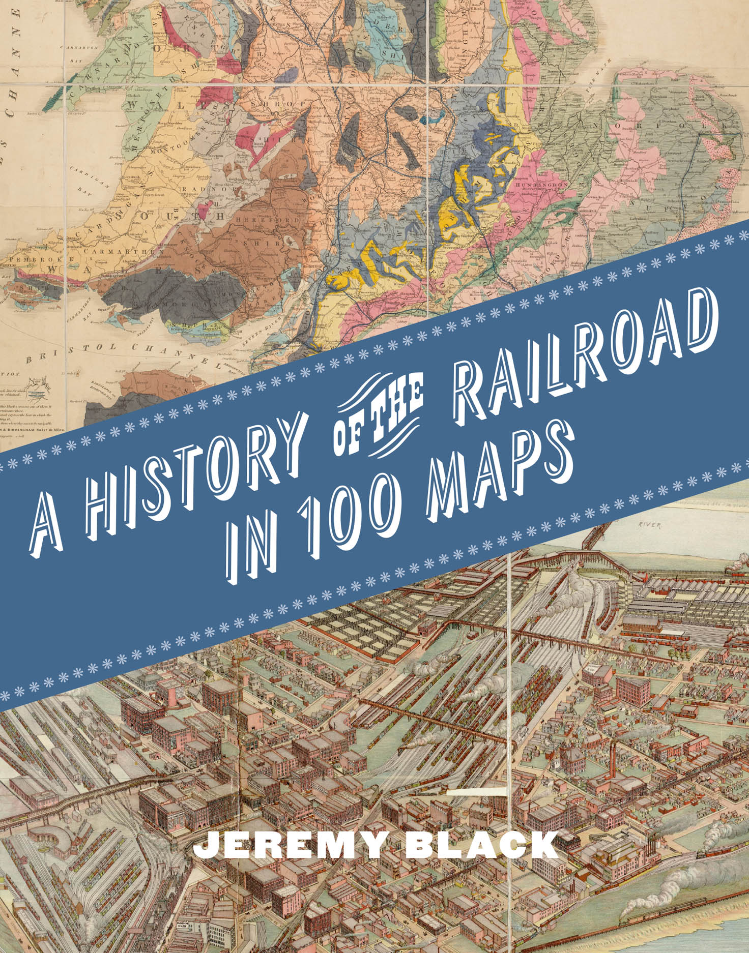
Review of A History of the Railroad in 100 Maps
By Jeremy Black
University of Chicago Press, 2024
288 pages, 130 color plates
Hardcover: $40.00, ISBN: 978-0-226-83788-8
eBook: $39.99 ISBN: 978-0-226-83789-5
Review by: Daniel G. Cole, Smithsonian Institution
This book provides an eclectic mix of one hundred historical maps documenting the history of railroads around the world, across eight chapters. Each of the maps reproduced in the book, many supported with larger scale detail images, is accompanied by a discussion of their background and context.
An art nouveau–style poster advertising the Gotthard Railway network in 1902 and an 1876 map of the New York Central and Hudson River Railroad with a giant hand pointing out the world’s first four track railroad grace the first two pages of the book; even before the title page.
In the “Introduction,” the author grandly notes that “mapping rail is in part a history of maps and, in that, a history of map production, map use and perception” (8). Black also points out that the mapmakers had choices to make concerning what the maps would include and exclude. The two maps in this section are the London Overground map – Autumn 2024, with each of the different lines labeled with its name and assigned a color (10); and a map of the French national rail network in 1976 (13). These maps have no geographic reference, but with the latter map one can see the shape of France along with the hierarchy of the rail lines. The author finishes this section by claiming that the maps in this book “are reproduced in chapters organised primarily on a chronological basis, but within them the arrangement is thematic—principally in geographical terms. . .” (13, emphasis added).
Chapter 1, “Origins,” begins with two illustrations: one depicting a locomotive overturning a mail coach in 1853 (15) and the other an engraving of the work involved in constructing a railway, its bed, and retaining walls (16–17). What follows are ten maps, dated from 1787 through 1859. Most of the maps, like A Geological Railway & Canal Map of England & Wales and Part of Scotland of 1843 by Charles Smith, are reproduced well. This is a lovely multi-colored map of geology, rails, and canals that is reproduced in full on page 21 and with closeups of the legend and two portions of the map on the following two pages. Two maps, however, John Gibson’s 1787 Plan of the Collieries. . . (18–19) and the 1830 Map of Canals and Rail Roads of the United States (38–39) by H. S. Tanner, are overly dark and have poor contrast, and should have been adjusted in Photoshop. Another problem, one recurring frequently throughout this book, is that some of the maps presented fall across the binding gutter, obliterating those portions that fall into the gap. Since Black often has close-ups of portions of the maps, there is no good reason not to reduce the original maps’ sizes or cut them prior to entering the gutter.
Chapter 2, “Spreading the New Age 1860–85,” starts with the two paintings American Progress (1873) and In the Nineteenth Century. . . (1861): focusing on Manifest Destiny and manual labor, respectively (43–44). These are followed by sixteen maps, starting with J. H. Colton’s easy to read Map of Alabama. . . (47), which prominently displays rail lines in the state classed as “In Operation,” “Graded,” and “Projected.” It should be noted that while neither this map, nor six of the other maps in the chapter, overrun the gutter, there are nine that do cross it unnecessarily. The geographic range of maps in this chapter is wide, and includes the United States, Canada, Panama, Uruguay, Argentina, the Alps, Great Britain, Scandinavia, the Netherlands, and New Zealand. Four of the maps have close-ups depicted as well. For one contrasting example, Black provides both the 1863 and 1880 editions of the Extent of Sweden’s Norway’s and Denmark’s Railways (74–75).
Chapter 3, “Geopolitics and War 1885–1918,” begins with a two page photograph of work on the Trans-Siberian Railway (82–83) followed by Stanford’s Map of the Siberian Railway. . . (1904) along with a close-up of its eastern half (84–87). Curiously, Black points out (104) that the map of New Zealand railways (105) labels South Island as Middle Island, but he does not explain when or why that name was used. Again, the problem of cross-gutter map placement occurs with twenty-six of the chapter’s thirty-five maps. Although most of the maps in this chapter are relatively easy to read, only four have close-ups, and the readability of several others would have benefited from enlargements, especially the 1851 New Map of Belgium by L. Mols (146–147). The geographic range in this chapter includes maps of Asia, Africa, South America, North America, Europe, and Oceania, with scales varying from continent-wide railroads down to rail networks within cities, including three bird’s eye views: Kansas City (108–109), Chicago (110–111) and Hull, England (120–121). One map of especial note is the 1894 flow line map, proportional to the freight carried, entitled France: Railways (146) by Paul Vidal de la Blache.
Chapter 4, “Alongside Road 1919–39,” has seventeen maps (of which ten cross the gutter) collectively covering a wide range of areas and features roads like the Erie Railroad in the United States and the trans-European Orient Express. Both the Swiss map on pages 182 and 183, and the page-spread 3D view of the Alps immediately following, deserve close-ups; as they are, I couldn’t tell where the railroads were on those maps. On the other hand, the enlarged portions of the Africa, Poland, Soviet, and Erie Railroad maps are very helpful.
Chapter 5, “War and the Air Challenge 1939–70,” has sixteen maps (with ten crossing the gutter), and begins with three maps from World War II: State of Damage of Rail Centres in Western Germany (1945, 193), Burma-Siam Railroad Installations (1944 195), and Site Plan for Auschwitz-Monowits (1944, 196–197). Like the other chapters, the maps that follow cover a variety of countries and regions. Some, such as the 1966 Major Rail Network map by W. James Shaw (208–209) appeared in contemporary atlases. Others, like the mid-West to mid-Atlantic states map of the Pennsylvania Railroad, were promotional posters for travelers, and others yet were taken from reports. The promotional posters are typically pictorial in nature and illustrated rail lines as generalized curves or straight lines between stations.
Chapter 6, “Rail Developments 1970–Present,” contains thirteen maps (again, with five spread across the gutter) and showcases depictions of rail in the Soviet Union, Malawi, East China, Greater London, Singapore, Illinois, the United States (Amtrak), Tokyo, Germany, and Belgium. It finishes with the Channel Tunnel Terminal White City map of 1974 (250–251). No close-ups are provided by the author in this chapter, except a blowup of the legend for the Soviet map, but even that is still too small to be readable.
Chapter 7, “Facing the Future,” only has four maps: the Rail Baltica project connecting the Gulf of Finland to the Polish border; China’s Belt and Road Initiative global infrastructure development project; the HS2 Service Map (2023) of plans to run fast trains between London and the Midlands in the United Kingdom; and the RRTS Network Phase 1 map (2023) showing a project for the Delhi, India metropolitan area (since re-branded RapidX). All depict present-day existing infrastructure and future plans for rail development in different parts of Eurasia. The first three maps are generalized depictions of existing and planned routes, whereas the Delhi map has plenty of details on the rail lines, stations, and surrounding areas.
Chapter 8, “Rail and the Collective Imagination,” contains eight rail maps, starting with one used with a board game from 1850 where players travel between London and Edinburgh (264–267); an 1889 poster map for the Orient Express (269); a (hard to read) pictorial map of the London Tube from 1922 (270–271); a “Map of Galloway for Use with The Five Red Herrings” the 1931 Dorothy L. Sayers murder mystery (272–273); a map associated with The Railway Series, a British series of children’s books that eventually focused on Thomas the Tank Engine (1945; 274–275); and a set of advertisement posters from three British railroads: Midland Railway (277), England and Scotland East Coast Route. . . (278), and London and North Western Railway (279). This chapter and these maps appear to me to be an addendum and could have easily been incorporated into the other chapters.
Overall, Black’s book provides a survey of the one hundred and fifty year evolution of railroad maps that will be appreciated by railroad aficionados. While I have quibbles about the great number of times that maps fall into the book’s gutter, those quibbles could have been addressed had the author (and/or publisher) provided a website on which readers could view, zoom into, or even (maybe) download, the maps in which they are interested. Ultimately, however, I cannot help but feel that while Black provides plenty of good historical and geographical context in his book, he could have provided more discussion about the maps themselves. As a result, it would be better to see this as a book about railroads that is supported by maps rather than a book about railroad maps.